Challenging Underground Works

Challenging Underground Works
The underground space in urban areas is a complex and congested network of utility services, posing significant challenges for construction and infrastructure projects. Traditional trial trenching methods for locating utilities are expensive, slow, and disruptive, offering only limited visibility of underground networks. Inaccurate utility identification can lead to major project delays due to unforeseen diversion works.How many times has a project been disrupted by unexpected underground services? These surprises not only increase costs but also extend timelines, making efficient and accurate utility detection crucial for successful project execution.
Seeing the Unseen: A Smarter Approach to Underground Mapping
In today’s digital construction era, precision and efficiency are crucial. Traditional trial trenching methods can no longer keep up with the demands of modern infrastructure projects.GeoPulse transforms subsurface utility detection with advanced Multi-Channel Ground Penetrating Radar (MCGPR) and Electromagnetic Locators (EML). These non-invasive technologies deliver accurate, real-time insights into underground conditions, helping to minimise costly surprises, prevent project delays, and enhance overall safety.
MCGPR and EML are powerful technologies that enhance subsurface mapping by providing accurate and efficient detection of underground utilities.
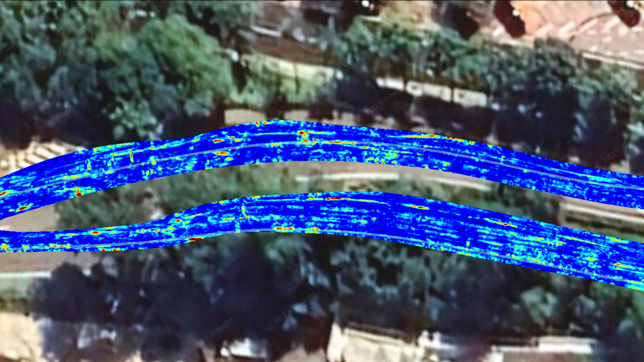
MCGPR uses multiple radar antennas to capture high-resolution images of the subsurface in a single pass, allowing for deeper penetration and a wider coverage area compared to traditional GPR. This technology enables detailed visualization of buried utilities, including pipes, cables, and voids, even in complex and congested underground environments.
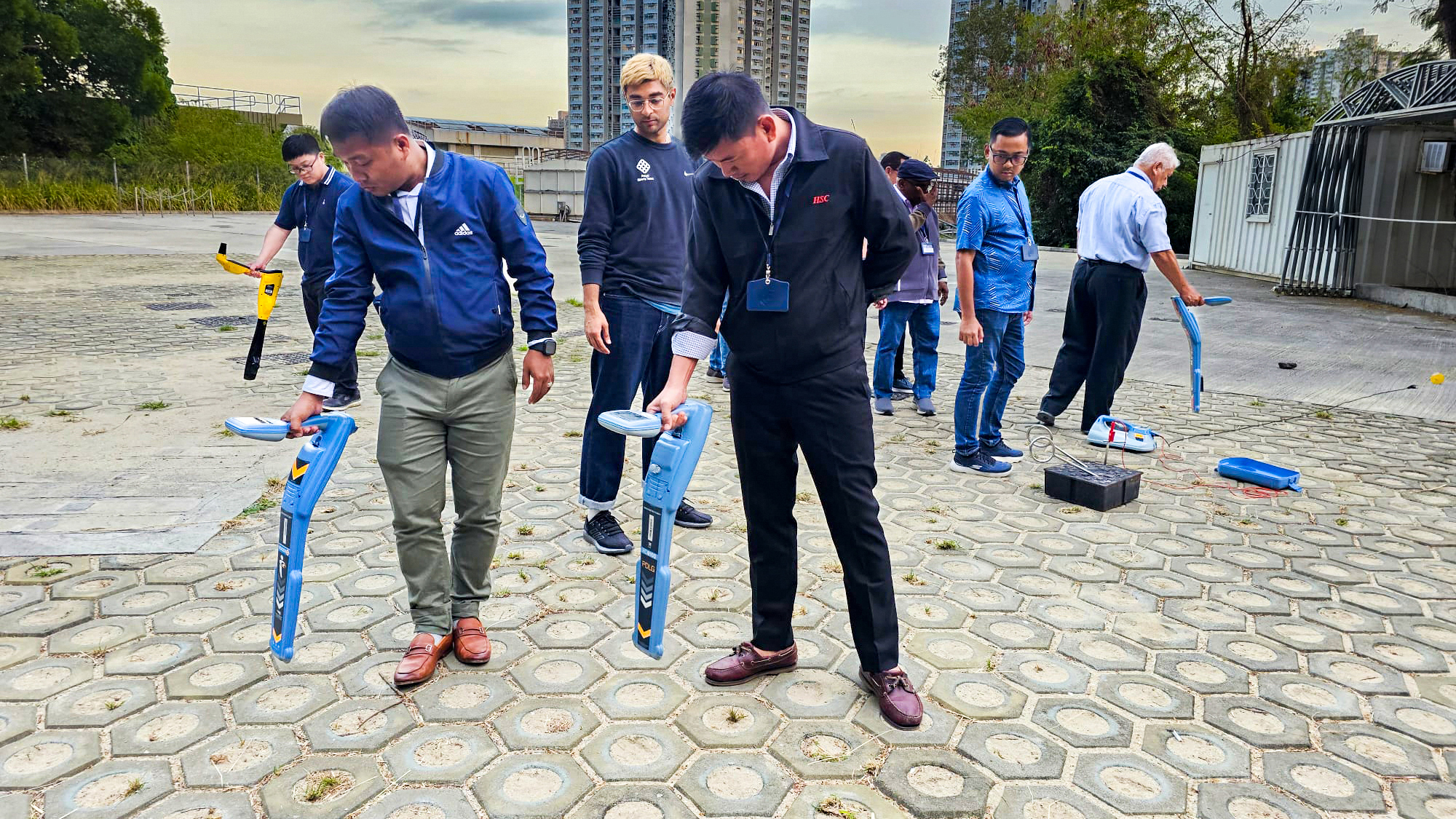
EML, on the other hand, detects conductive materials such as metal pipes and electrical cables by generating and tracing electromagnetic signals, making it particularly useful for locating utilities with precision.
When combined, MCGPR and EML provide a comprehensive, non-invasive mapping solution that minimizes excavation risks, reduces project delays, and enhances safety by delivering accurate underground data before construction begins.

Strength of GeoPulse
Extensive Experiences
GeoPulse has successfully deployed MCGPR and EML technologies to scan over 2.6 million m² of roads and turf across Singapore.
This vast experience has allowed GeoPulse to gain in-depth expertise in utility mapping, adapting to the complex and challenging underground conditions unique to Singapore.

Equipment
GeoPulse’s advanced MCGPR solution consists of 1 vehicle-mounted system and 2 push-cart types. They represent the latest innovative technologies in high-precision subsurface scanning, tailored to meet complex project demands.
The vehicle-mounted system excels in high-speed road-surface surveys, offering efficiency for large-scale data acquisition. In contrast, the push-cart systems provide exceptional adaptability, operating seamlessly across pavement, turf, and uneven terrain to maintain precision in diverse environments.

Manpower
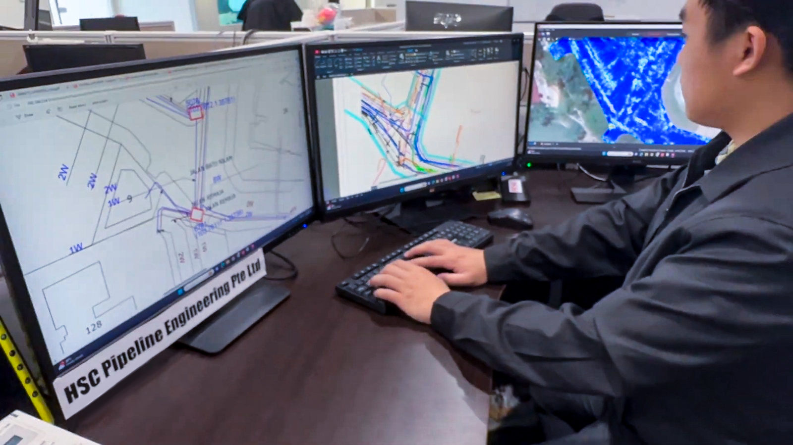
GeoPulse’s full potential is unlocked through expert data interpretation. To ensure precision and reliability, GeoPulse has a dedicated in-house team of professional GPR analysts and drafters, backed by stringent quality assurance protocols.
Our GPR analysts are highly specialized professionals with advanced expertise in geomatics and land surveying, ensuring rigorous quality control throughout data collection, processing, and interpretation. By combining technical proficiency with systematic validation processes, they transform raw data into accurate, actionable insights, enabling precise and dependable subsurface analysis.

Our Services
- Utility Mapping using MCGPR and EML
- Geo-Located Combined Utility Plan (Geo-CUP)
- Geo-located Point Cloud (GPC) Survey using 3D photogrammetry/LiDar Scanning
- Compliance to URA IPAG Major Infrastructure (Network) Workflow
- Void Detection, water leak detection, anomalies check, concrete scanning and rebar detection, LCDW and TCDW for NCE applications, topographical survey
Apr 02,2025
